


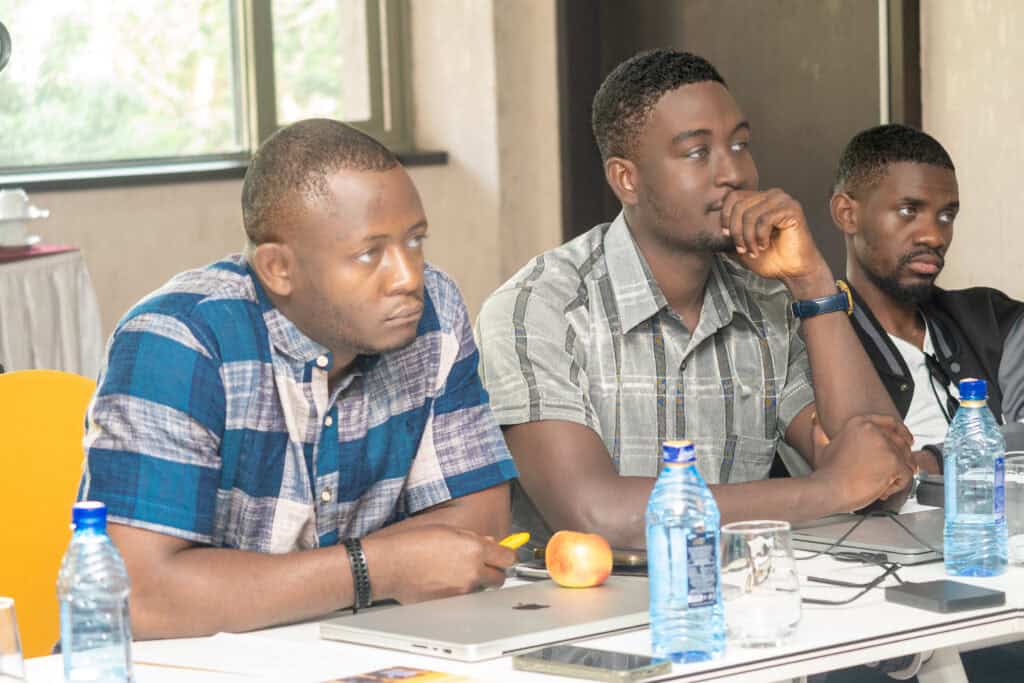
Mawuli Kuwornu is a Research Assistant, Geospatial Analyst and GIS Officer at Africans Rising, where he manages, process, and validate geospatial datasets to support the movement’s planning, research, and reporting. Skilled in ArcGIS, QGIS, Google Earth Engine, and Power BI, He produces thematic maps and spatial data products that inform evidence-based decision-making across the organization.
His background also includes serving as a Teaching and Research Assistant at the University of Ghana, where he trained over 1,200 students in GIS and remote sensing, and conducting research on land use and cover change across Ghana.
Driven by a commitment to pan-Africanism, I am passionate about using geospatial technology and data-driven research to advance unity, justice, and sustainable development across the African continent.

We use cookies to improve your experience on our site. By using our site, you consent to cookies.
Websites store cookies to enhance functionality and personalise your experience. You can manage your preferences, but blocking some cookies may impact site performance and services.
Essential cookies enable basic functions and are necessary for the proper function of the website.
Statistics cookies collect information anonymously. This information helps us understand how visitors use our website.
Google Analytics is a powerful tool that tracks and analyzes website traffic for informed marketing decisions.
Service URL: policies.google.com (opens in a new window)
SourceBuster is used by WooCommerce for order attribution based on user source.
You can find more information in our Cookie Policy and Privacy Policy.
No products in the cart.